|
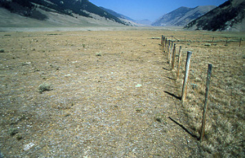
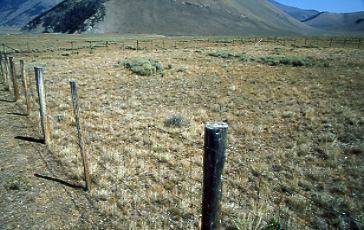
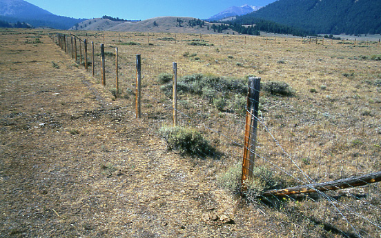
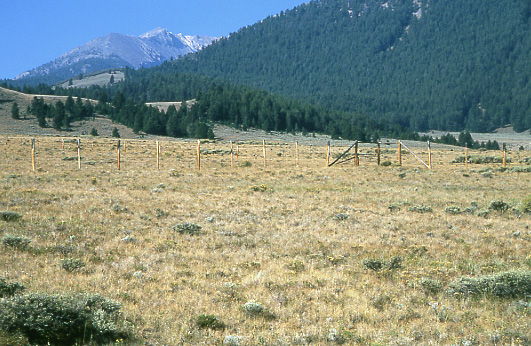
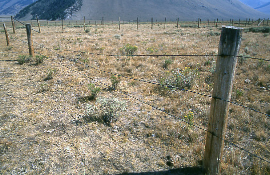
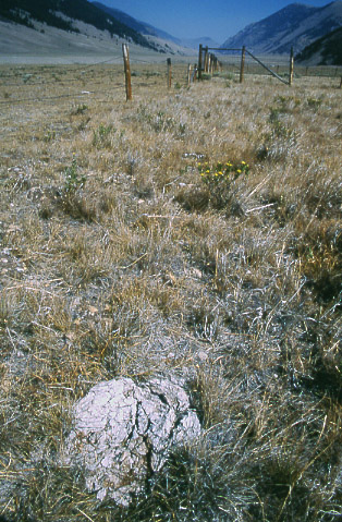
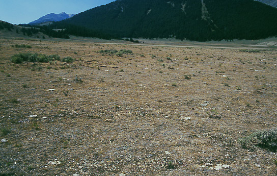
The Doublesprings Exclosure has provided a valuable benchmark for range conditions on the surrounding Pahsimeroi Allotment since the early 1970s.
Although a U.S. Forest Service report of 1981 notes that few records document livestock use of the allotment prior to 1940, it is known that it was heavily used by cattle, horses and sheep with the sheep grazing the steeper, more inaccessible areas while cattle and horses grazed the flatter benches.
Livestock grazing on the allotment was typically season long until implementation of the current allotment management plan in 1970 which provides for a three pasture rest rotation form of management designating one pasture to be rested each year while the other two are used early and late.
A 1993 U.S. Forest Service report commenting on range analysis data collected on the allotment in 1965 and in 1981 found that at the latter date, cover from vegetation and litter was essentially unchanged as was percent bare ground. Shrub cover had declined but not significantly and production of desirable species, as a percentage of the whole, had increased. But the report suggested that this apparent improvement may have been partially due to differences in data collection methods. The report further noted that conditions had stabilized at the 1981 level and concluded “Future emphasis should point toward implementing management that will more rapidly move the uplands towards conditions closer to PNC [Potential Natural Condition]. From the enclosure at Doublesprings it is evident that we are still considerably below this condition in some areas.”
The enclosure is located in south-central Idaho at Township 11N, Range 22E, Section 25 just south of Forest Road 117 (Horseheaven Road), approximately 0.2 mile east of Forest Road 116 (Doublesprings Road). The exclosure is 7,668 feet above sea level at UTM coordinates 0275562/4903643.
|
